THE U.S. GOVERNMENT'S PLAN TO INCREASE ITS awareness of activities on the world's waterways is starting close to home, as many federal agencies turn their attention to ports.Lots of good stuff -read it all.
While the U.S. Northern Command has been steadily bolstering its harbor security posture, the Department of Homeland Security is heightening efforts to detect and interdict waterborne threats to ports. The Navy and Coast Guard may expand joint command centers to prevent and respond to calamities near domestic hubs of commercial maritime traffic.
But officials from the Navy and DHS said the task of securing the maritime domain is a global problem-a strike in a vital choke point in the Malacca straights could mean economic upheaval in the continental United States. Officials also often note that by the time the threat is at a port, it may be too late to avert a disaster.
Pushing the security line away from the United States requires often-thorny new developments, such as international agreements, yet- to-be developed sensor technologies and intelligence sharing with myriad players through a common operating picture.
Ports, on the other hand, have a more focused task, with well known sea lanes, established protocols for inbound traffic, known domestic law enforcement partners and leverage with private sector shippers to cooperate to ensure quick access.
One Navy official said that compared to aviation, the overall awareness of the ocean's traffic would receive a failing grade. He quietly added that the United States has "good spotlight awareness at some harbors."
In an attempt to increase the range of automated ship identification, National Oceanic and Atmospheric Administration buoys like this one may be fitted with transmitter/receivers.
Emblematic of the current state of maritime security is the use of an automatic identification system that is the cornerstone to knowing locations and identities of ships. By separating potential risks from the clutter of harmless ship traffic, threats can be found. Installing an AIS transponder is voluntary for commercial ships, and there are hopes that their use will expand beyond littoral areas.
In a map used by Navy officials at a recent industry conference, the gaps in AIS coverage were clearly visible. Arcs drawn on the map, bowing from major ports in the country, indicated zones where AIS signals could be received. Large segments of the U.S. coastline, including small ports and inland waterways, as well as the enormity of the oceans themselves, are not included. Seven of the 15 AIS zones were noted to be in development.
Related West African maritime security article:
“It’s not all about oil,” said Lt. Cmdr. Dan Trott, Gulf of Guinea strategy and policy desk officer for U.S. Naval Forces Europe Sixth Fleet. “It comes down to, there are a lot of resources in the region, and when you get to the nexus of an area with a lot of resources and not a lot of security, then you have the opportunity for the bad actors.”Hey, it's a global system.
U.S. Naval Forces Europe has embarked on a 10-year push to help 10 West African nations either develop or improve maritime security, and in turn, boost economic development.


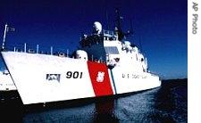 USCG Cutter Bear
 Arrow points to Gulf of Guinea
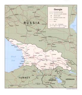


 In the water
 In dry dock
 Cross section
 SCUD footrest
 An early oil well
 Visual Ships
 0-60 in 32 seconds


 Photo
Photo